IDEA 01
Crystal growth form
The discs could reflect the growth habit of a crystalline mineral. The comparison does not identify this Martian material.
CURIOSITY FIELD NOTES 05 / YARDANGS AT DAWN
Inspect Curiosity’s six-frame panorama, then locate the distant yardang layer without turning a regional illustration into an exact boundary.

05 / INSPECT THE DAWN
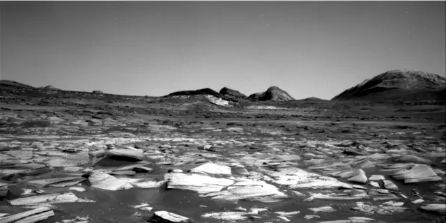
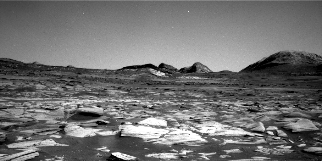
Curiosity’s Mastcam recorded this panorama on August 11, 2026, at about 08:30 local Mars time. Morning light reaches the distant wind-carved cliffs called yardangs while the foreground retains bluish tones.
The panorama was intentionally processed without the usual white balancing to preserve the early-morning appearance. That is an artistic processing choice, not a claim that the image is a calibrated “true color” view.

Observed: a distant, eroded layer photographed at dawn. Still unknown: exactly how the layer formed. Ancient volcanic ash is one idea NASA describes, not a confirmed origin.
Back to choices ↑05 / LOCATE THE LAYER
NASA describes the yardang layer as extending roughly 10 miles (16 kilometers) across the northwestern reaches of Mount Sharp in Gale Crater. The artist’s concept below uses an ellipse to indicate that regional layer.
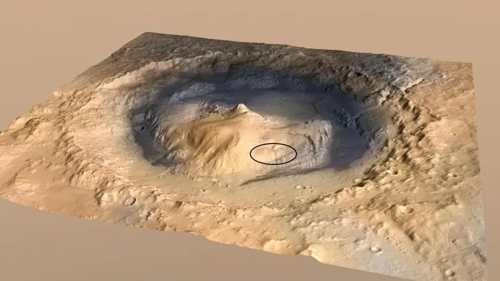
This observation does not establish current wind speed, current water, life, settlement safety or human zoning.
Read NASA’s October 6 report ↗ · Open the NASA image record ↗
Back to choices ↑04 / DRILL → LAB
01 · CHECK
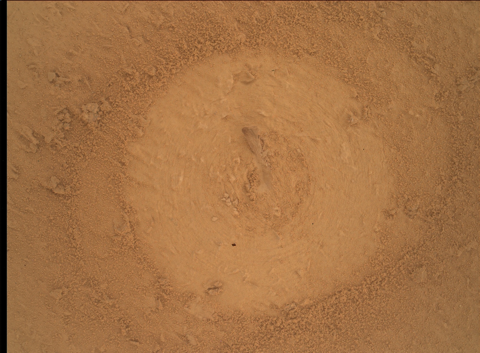
MAHLI recorded the pre-load target on September 23.
02 · DRILL
NASA reported that drilling at Basque Lakes succeeded.
03 · CheMin
CheMin analysis was being wrapped up. Its data informed SAM’s decision to analyze the sample.
04 · SAM TLS
A tunable-laser-spectrometer run was underway or awaiting results. NASA disclosed no compounds.
05 · NEXT?
A separate follow-up analysis had not yet been decided.
“Volatiles” is an instrument-measurement category; this report does not establish water. The exact laboratory run times, target coordinates, mineral composition and TLS results were not published.
Back to choices ↑04 / INSPECT THE DRILL HOLE
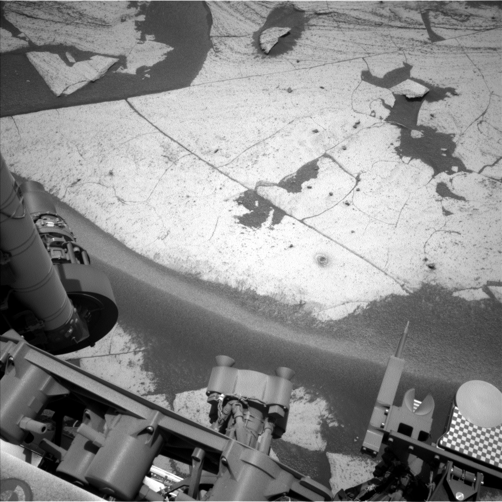
Curiosity’s Left Navigation Camera recorded the Basque Lakes drill hole and surrounding tailings on September 24. The image documents the workspace after drilling; it does not reveal the sample’s mineral or volatile composition.
03 / EARLIER REPORT · FOLLOW THE DRILL
01 · CHECK
Curiosity used MAHLI to inspect the informally named “Basque Lakes” target before loading the drill onto the rock.
02 · DRILL
NASA’s October 4 mission-team report says the drill was successful. It was Curiosity’s 48th drilled rock target on Mars.
03 · ANALYZE
The team planned to deliver material to CheMin and SAM. The report did not provide mineral or organic-analysis results.
The exact drill time and exact target coordinates were not supplied. CaptureMars therefore uses Curiosity’s established Gale Crater regional anchor, not an invented point.
Back to choices ↑03 / BEFORE DRILLING · INSPECT THE TARGET
This verified MAHLI product shows the Basque Lakes target during the pre-load check. It is evidence of the target and preparation stage; it is not a mineral map, a drilling-time record, or a post-drill analysis result.
03 / FOLLOW THE EVIDENCE
This report does not establish current water, life, weather, settlement safety or human zoning.
Read the October 5 laboratory update ↗ · Read the earlier drilling report ↗ · Open the pre-load image record ↗
Back to choices ↑02 / SALAR DE VACAS · EARLIER NOTE
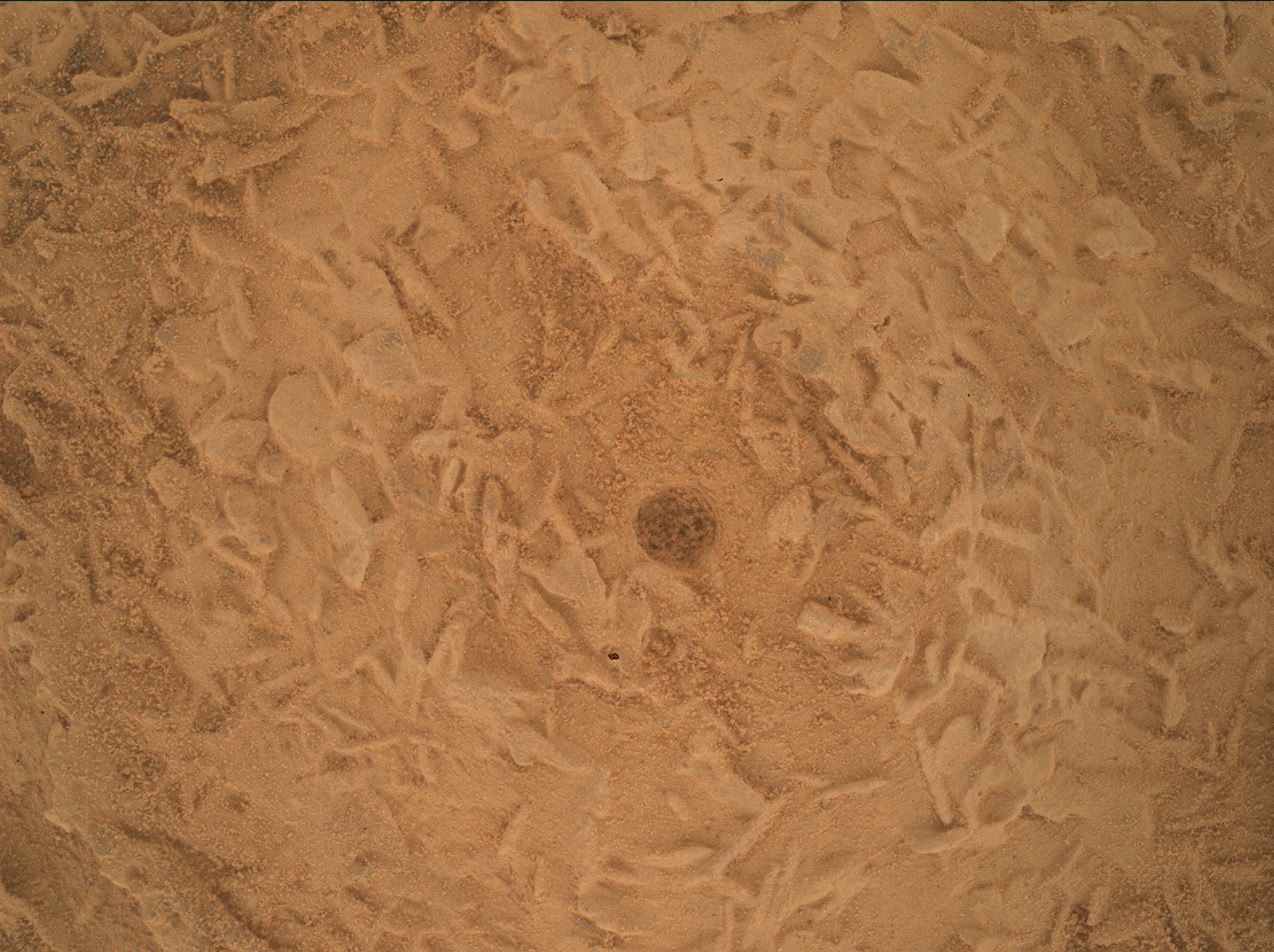
At the informal target “Salar de Vacas,” Curiosity brushed dust from the rock and used MAHLI to build a focus-merged close-up. The exposed surface contains roughly disc-shaped features about 3–4 millimetres across and about 1 millimetre thick.
The photograph establishes their shape and scale. It does not identify the mineral, date the texture, or establish liquid water at the time of observation.
02 / COMPARE THE IDEAS
IDEA 01
The discs could reflect the growth habit of a crystalline mineral. The comparison does not identify this Martian material.
IDEA 02
The discs could instead be pieces of a tougher rock layer that broke apart and accumulated in the bedrock.
The September 30 report described planned work, not a completed drill result at Salar de Vacas. The later Basque Lakes drilling report concerns a different informal target.
Back to choices ↑01 / VALLE GRANDE · EARLIER NOTE
NASA’s September 22 report described subtle bands along Curiosity’s route. Sandier stretches can look darker from a distance; other stretches show more continuous rock outcrops. Their exact boundaries, formation age and origin were not established.